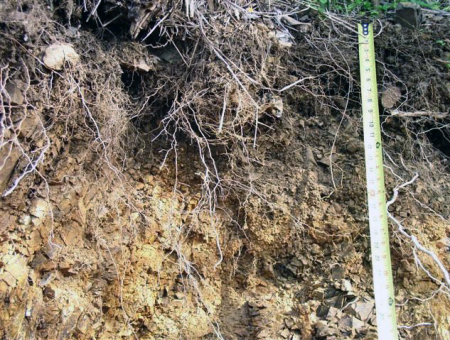
Through the National Cooperative Soil Survey, NRCS details the make-up of soils across our islands so that farmers, ranchers, and others can make informed land use decisions.
Focus Areas
- Soil Survey
- Soil Interpretations
- Soil Health
- Conservation Compliance
- Wetlands Determinations
- Caribbean Soil Climate Analysis Network (SCAN) stations
- National Resources Inventory
Projects
We fund cutting-edge projects like:
- Identification and Determination of Spatial Distribution of Coastal Lowlands Acid Sulfate Soils
- Caribbean Coastal Zone Soil Survey
- Ecological Site Descriptions
- Tropical Crop Productivity
Who We Are
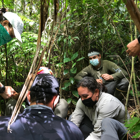
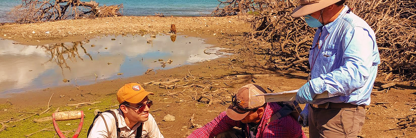
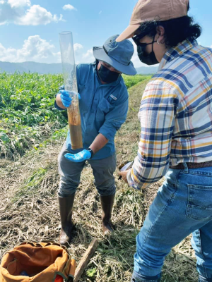
The Caribbean Area Soils Division provides Technical Soil Services (TSS) – Information and assistance on the appropriate use and application of soil information – to customers in Puerto Rico and the U.S. Virgin Islands. TSS includes wetlands and HEL (highly erodible land) determinations for regulatory compliance, onsite conservation planning assistance, training and soil education activities, promotion of Soil Health Systems, and helping the public obtain and use soils data available through the Web Soil Survey, eFOTG and other web applications.
We are part of the National Cooperative Soil Survey (NCSS) program, a nationwide partnership of federal, regional, state, and local agencies and institutions. This partnership works together to cooperatively investigate, inventory, document, classify, and interpret soils and to disseminate, publish, and promote the use of information about the soils of the United States and its trust territories.
What We Do
During FY 2021, we evaluated 576 acres for Highly Erodible Land and conducted wetland determinations on 208 acres for Food Security Act compliance. Our conservation team identified 5,327 acres to preserve the values, acreage, and functions of PR and USVI wetlands. Technical soil services provided in FY 2021 benefited over 101,896 people and more than 16 different groups and organizations in the Caribbean Area.
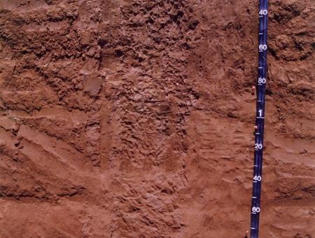
Representative Soil of Puerto Rico - Bayamon
Bayamon soils are interspersed between limestone hills (haystacks) along northern Puerto Rico. They are used for sugarcane, pineapples (seen in photo above), a wide variety of food crops, pasture, and hayland.
Representative Soil of the U.S. Virgin Islands - Victory
Victory soils are found on summits and side slopes of volcanic hills and mountains. They are used mainly as rangeland, pasture, and small areas have been subdivided for residential developments. The name "Victory" is derived from a local Estate, Mount Victory, in northwest St. Croix.