
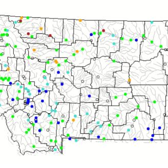
Predefined Maps: Station and Basin Conditions
To get you started with the Interactive Map, the following are links to predefined maps organized by data type. After opening a map, you can zoom to your area of interest, customize the map, and then bookmark the URL to save your settings. End of month maps include additional data from snow courses, cooperative precipitation stations, and other parameters that are not collected daily like SNOTEL stations.
Snow
- Snow Water Equivalent > Daily > Percent of 1991-2020 Median > Stations | Basins
- Snow Water Equivalent > End of Previous Month (SNOTEL and Snow Course) > Percent of 1991-2020 Median > Stations | Basins
- Snow Depth > Daily > Stations
- Snow Depth > End of Previous Month (SNOTEL and Snow Course) > Stations
- Snow Density > Daily > Stations
- Snow Density > End of Previous Month (SNOTEL and Snow Course) > Stations
Precipitation
- Month-to-Date > Daily > Stations
- Month-to-Date > Daily > Percent of 1991-2020 Median > Stations | Basins
- Water Year-to-Date > Daily > Percent of 1991-2020 Median > Stations | Basins
- Water Year-to-Date > End of Previous Month > Percent of 1991-2020 Median > Stations | Basins
- Previous Month > Percent of 1991-2020 Median > Stations | Basins
- Previous 3 Months > Percent of 1991-2020 Average > Stations | Basins
Streamflow
- Observed (Adjusted Volume) > Previous Month > Percent of 1991-2020 Median > Stations | Basins
- Forecast (Adjusted Volume) > Most Recent (Available March 1 through June 1) > Percent of 1991-2020 Median > Stations | Basins
Reservoir Storage
- End of Previous Month > Percent of 1991-2020 Median > Stations
Other
- Snow Water Equivalent > Daily > Compared to POR > Stations
- Snow Water Equivalent > End of Previous Month (SNOTEL and Snow Course) > Percentile > Stations
- Water Year-to-Date Precipitation > Daily > Compared to POR > Stations
External Resources
Current Streamflow - USGS WaterWatch
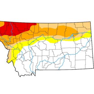
U.S. Drought Monitor
National Weather Service - Weather and Hazards Data Viewer

National Weather Service - Climate Prediction Center
InciWeb - Wildfire Incident Viewer
Montana Climate Office
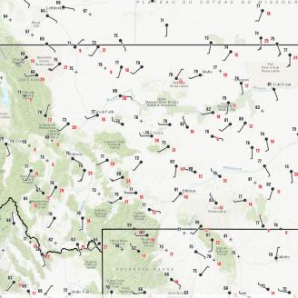
PDF Maps
Automated basin filled maps. The "Print/Export" button located top center on the Interactive Map can be used to create automated PDF or JPEG maps of your choice. Create a map and bookmark the URL.
Snow Water Equivalent (Daily)
Daily basin filled map showing snow water equivalent as a percent of normal (1991-2020). Daily snow water equivalent percentages are derived from SNOTEL data only.
Snow Water Equivalent (Monthly)
Monthly basin filled map showing snow water equivalent as a percent of normal (1991-2020). Monthly snow water equivalent percentages are derived from SNOTEL and Snow Course data.