
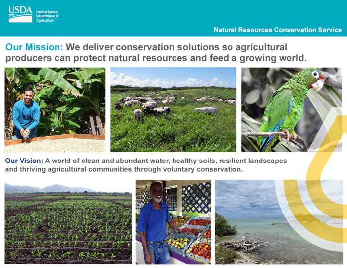
Dig deeper into what NRCS has to offer farmers, forest land owners, and communities in our Caribbean paradise. Learn about local projects and initiatives, read success stories, and find publications and resources.
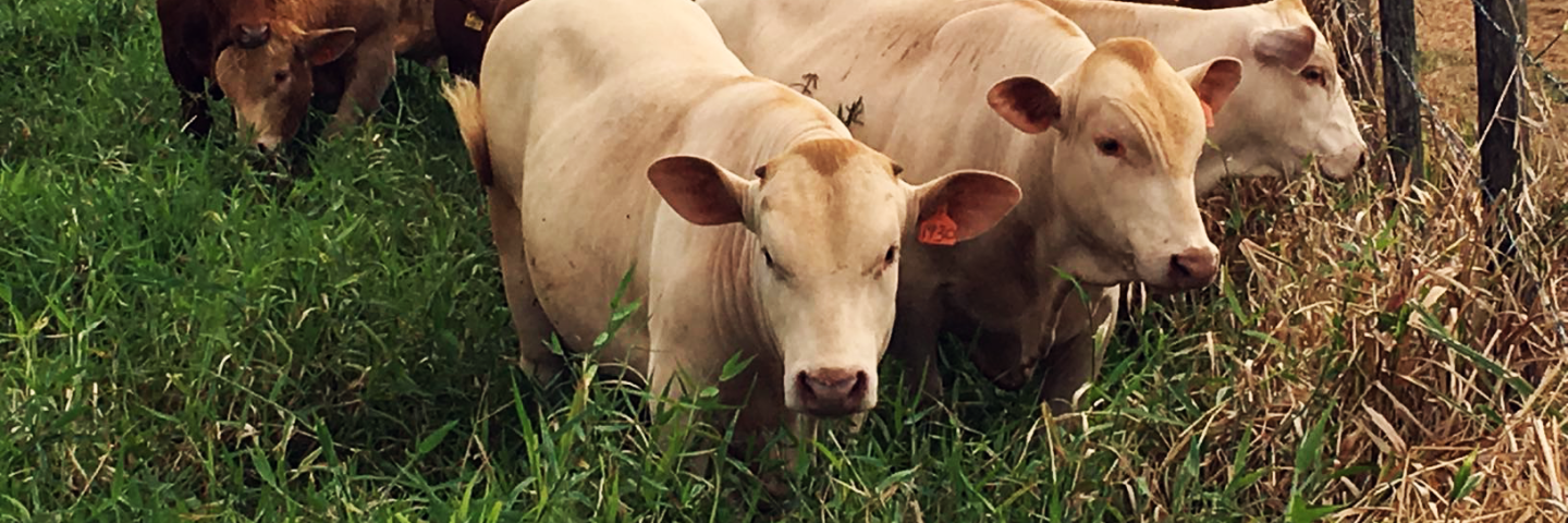
Puerto Rico and the U.S. Virgin Islands have a diversity of landscapes, resources, agriculture and sociopolitical conditions. We employ conservation experts who help farmers and landowners develop conservation plans, recover from disasters, restore and manage natural ecosystems and advise on nutrient and animal waste management and watershed planning.
Our Conservation Technical Assistance (CTA) program enables every acre of conservation applied through every program NRCS administers. It is the foundation of our financial and technical assistance delivery system. CTA funds conservation planning and provides producers with the decision support and proven technology needed to achieve the benefits of a healthy and productive landscape.
In 2021 NRCS provided CTA to over 8,500 clients and media outreach to over 1 million residents through over 2,500 separate activities and contacts. Over 99% of the financial assistance we provided went to beginning, limited resource or socially disadvantaged farmers, and 19% of our FY 2021 participants were women, 7% were black and 89% were Hispanic.
NRCS Provides Support Backed by Science and Research
We generate, manage and share the data, research and standards that enable partners and policymakers to make decisions informed by objective, reliable science.
The conservation practices we promote are backed by science and research conducted with our land grant universities, and proven to work. We use the latest research and technology to demonstrate the value of conservation and identify places that can most benefit from our programs. We provide the information producers, partners, and policymakers rely on to make informed decisions.
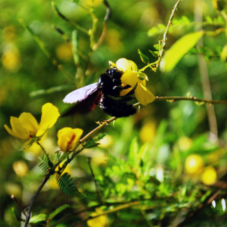
Through our Ecological Sciences Division we provide resources, tools and training to examine how voluntary conservation impact working lands. We conduct resource assessments and provide environmental compliance assistance, evaluating over 70 regular EQIP projects, 42 EWP projects, and updating 26 Caribbean Area conservation practice standards and 7 practice specifications in FY 2021. We also provide technical training to staff and partners for conservation planning, high tunnels, RUSLE 2 erosion prediction, threatened & endangered species protection and cultural resources identification and preservation.
Through our Engineering Division we support our Field Offices and clients with technical advice, design and certification of NRCS engineering practice standards. About 455 engineering practices were certified in FY 2021. The most certified practices were Obstruction Removal (30%), followed by Roof Runoff Structures, Pumping Plants, Watering Facilities, and Clearing & Snagging. In 2021 Engineering staff assisted special projects in Coloso Valley, Santa Isabel, Salinas, and Húcar, providing irrigation system conservation practices for vast land areas serving several farms. The team also led design efforts for the Yabucoa RCPP channel restorations, Lajas RCPP irrigation water availability assessments and Añasco Dam repairs. Engineering successfully completed all Emergency Watershed Protection Program streambank cleanups from Hurricane Maria and Tropical Storm Isaias - over 75 sites across the Islands.
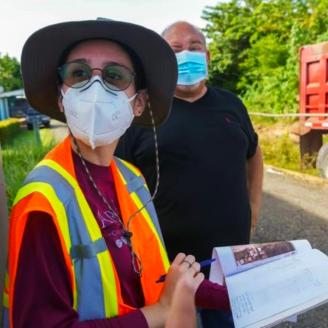
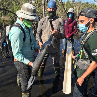
Our Soils Division, through the National Cooperative Soil Survey, details the make-up of soils across our islands so that farmers, ranchers, and others can make informed land use decisions. We fund cutting-edge projects like Identification and Determination of Spatial Distribution of Coastal Lowlands Acid Sulfate Soils, Coastal Zone Soil Survey, Ecological Site Descriptions, and Wetlands Determinations. During FY 2021, we evaluated 576 acres for Highly Erodible Land and conducted wetland determinations on 208 acres for Food Security Act compliance. Our conservation team identified 5,327 acres to preserve the values, acreage, and functions of PR and USVI wetlands. Technical soil services provided in FY 2021 benefited over 101,896 people and more than 16 different groups and organizations in the Caribbean Area.
In 2021 NRCS invested over $1 million in 8 cooperative and inter-agency agreements to assist our farmers and field offices with watershed assessments, cultural resource assessments, conservation technical assistance, dairy conservation practices and forestry, pollinator and wildlife practice planning and implementation.
Technical Assistance & Information
Ecological Sciences
The Caribbean Ecological Sciences Division provides training and resources for environmental compliance and resource concern assessment under the NRCS 9-step Conservation Planning process, and provides expertise on agroforestry, forage, native plants, fish & wildlife, and cultural resources.
Engineering
The NRCS Caribbean Engineering Division provides innovative engineering solutions to natural resource conservation challenges in Puerto Rico and the U.S. Virgin Islands.
Soils
The Caribbean Soils Division is part of the National Cooperative Soil Survey (NCSS) program - a nationwide partnership of federal, regional, state, and local agencies and institutions. In the Caribbean, this partnership cooperatively investigates, inventories, documents, classifies, and interprets soils and disseminates, publishes, and promotes the use of information about the soils of Puerto Rico and the U.S. Virgin Islands.

Publications
NRCS Caribbean has informational publications for all our clients, from technical notes, reports and guides to programs factsheets, newsletters, posters and brochures.
Join our Conservation Team!
Learn about career opportunities with NRCS in the Caribbean and across the country!


Geography & History
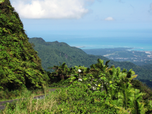
Puerto Rico and the U.S. Virgin Islands are located ~1000 miles southeast of Miami stretching eastward between the Caribbean Sea and the Atlantic Ocean. Christopher Columbus discovered our islands on his second voyage to the Antilles in 1493, where he found thriving native Taino and Carib communities.
Puerto Rico:
- Climate: Tropical temperatures averaging 82 degrees F with constant mild, easterly trade winds.
- Language: Spanish and English
- Population: Approximately 3.2 Million (2020 Census)
- Size: Approximately 110 miles long by 35 miles wide, roughly the size of Connecticut.
USVI:
- Climate: Tropical temperatures averaging 82 degrees F with constant mild, easterly trade winds.
- Language: English
- Population: Approximately 87,000 (2020 Census)
- Size: St. Croix, 85 sq. mi.; St. Thomas, 32 sq. mi.; St. John, 19 sq. miles.